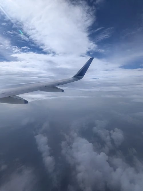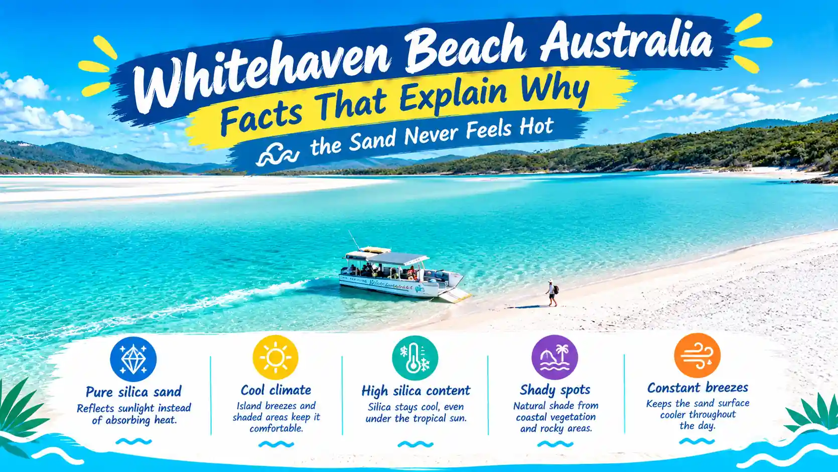
Whitehaven Beach Australia Facts show that this beach sits on Whitsunday Island, inside the Whitsunday Islands National Park in Queensland. It stretches about 7 kilometres, and its sand is almost pure silica, at around 98%. This special sand stays cool even under the hot sun because it absorbs little heat. The water near the shore is clear and shifts between shades of blue and turquoise, which makes the coastline easy to spot from the air.
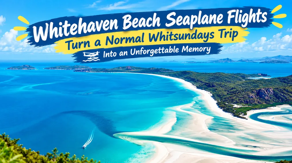
Most visitors reach the beach by boat, seaplane, or helicopter, since there are no roads leading directly to it. One of the best Whitehaven Beach Australia Facts for travelers is the view from Hill Inlet, where sand and water blend into swirling patterns at low tide. These simple facts show why this beach is one of Australia’s most photographed spots.
Whitehaven Beach Australia Facts
Few beaches get this much attention. The real story sits in the details. Whitehaven is not a resort strip with shops and cafes. The beach lies inside a national park. Visitors arrive by water or air, not by road. Boats, seaplanes, and helicopters all run here from nearby hubs. Limited access makes planning matter more than usual.
Distance and weather both shape a Whitehaven day trip. Most visitors join a tour from Airlie Beach or Hamilton Island. Independent boaters can also anchor and swim if conditions allow. Wind and swell can change a schedule at short notice. A flexible plan helps. The facts below help you plan without guesswork.
What Are the Key Whitehaven Beach Australia Facts?
Whitehaven Beach is a 7 km beach on Whitsunday Island, off the Queensland coast. The sand is about 98% silica. The beach sits inside Whitsunday Islands National Park. That park forms part of the Great Barrier Reef World Heritage Area. Hill Inlet lies at the northern end. Access is by boat, seaplane, or helicopter.
These core numbers help set expectations before a first visit. A 7 km beach means crowding is rarely a real problem. Even busy days leave space. A 98% silica reading explains why the sand looks almost artificial in photos. National park status means rules apply to camping, fires, and wildlife. Knowing these facts up front makes the rest of the planning much simpler.
The table below packs the most useful numbers into one quick view.
| Feature | Fact |
| Island | Whitsunday Island, the largest of the Whitsunday islands |
| Length | About 7 km (roughly 4.3 miles) |
| Sand | About 98% silica |
| Protected area | Whitsunday Islands National Park |
| Distance | Islands lie about 25 km east of Airlie Beach. |
| Access | Boat, seaplane, or helicopter |
| Camping | Booked permit needed |
Whitehaven Beach Location
Whitehaven Beach sits on the eastern side of Whitsunday Island. The island belongs to the Whitsunday group off central Queensland. Queensland’s parks website places the islands about 25 km east of Airlie Beach. Airlie Beach is the main mainland launch point for most tours. Resort islands, including Hamilton Island, also run trips out to the beach. Tourism Whitsundays, the regional tourism body, is a handy starting point for operator listings.
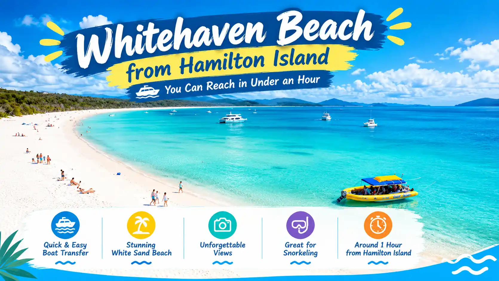
Trip length varies by departure point and vessel type. A fast catamaran from Hamilton Island can reach the beach quickly. Sailing trips from Airlie Beach usually take longer but add scenery along the way. Some operators combine Whitehaven with a stop at Hill Inlet in one day. Others run overnight sailing trips that include a Whitehaven anchor stop. Checking departure times in advance avoids a rushed morning.
- Nearest mainland town: Airlie Beach
- Resort launch island: Hamilton Island
- Ways to arrive: boat, seaplane, helicopter
- Road access: none
- Catamaran from Hamilton Island: roughly half an hour
Whitehaven Beach Queensland
Queensland protects the beach as part of a national park. The Queensland Parks and Wildlife Service publishes park alerts about access, closures, and conditions. Camping needs a booked permit. The camping area has picnic tables. Non-flush toilets are also on site. Fees and rules can change, so confirm details on the official Queensland Parks website. Weather, fire bans, and closures can shift quickly. Marine stingers can also appear in warmer months, so ask operators about stinger suits. Sun exposure is strong here. Little natural shade exists along most of the beach.
Booking through a licensed tour operator handles most of these checks automatically. Independent boaters carry more responsibility for confirming conditions themselves. Either way, a quick look at current alerts avoids a wasted trip. This checklist shows what to confirm before any Whitehaven trip.
| Check | Why it matters |
| Park alerts | Closures and access can change |
| Camping permit | Needed before an overnight stay |
| Weather forecast | Wind and rain affect boat trips |
| Fire bans | Rules apply in the national park |
| Stinger advice | Suits may be advised in warm months. |
Whitehaven Beach Whitsunday Island
Whitsunday Island is the largest island in the group. Hills, bays, and bushland surround the beach. Hoop pines and open forest cover parts of the island. No resort stands here, so the mood stays quiet. Walkers can use the Solway circuit track for rock platform views. Paddlers can join the Whitsunday Ngaro Sea Trail, which links several islands.
Chance Bay also has its own walking track, tucked away from the main beach. The track winds through bush before reaching a smaller, quieter stretch of sand. Wildlife spotting improves away from busy landing points. Bring water and sturdy shoes for any inland walk on the island. Tracks can be uneven, so watch your footing on rocky sections.
- Solway circuit track for coastal views
- Chance Bay track for a quieter walk
- Southern lookout, about a 1 km bush walk
- Tongue Point lookout near Hill Inlet
Whitehaven Beach Length
Whitehaven Beach runs about 7 km, or roughly 4.3 miles. A long beach spreads people out. Even busy days leave space for a quiet walk. Soft sand slows every step, so plan extra time. Most tours stop at only one or two spots along that length.
Some visitors combine a lookout trip with a swim in one day. Others simply pick a shaded patch and settle in for the afternoon. Walking the full 7 km round trip is possible but tiring in soft sand. Comfortable footwear or bare feet both work. The sand stays cool near the water. Carrying enough drinking water matters on a longer walk, since shade is limited.
How Long Is Whitehaven Beach?
Whitehaven Beach is about 7 km long, or roughly 4.3 miles. Park and tourism sources use this same figure. The beach runs along Whitsunday Island. Walking its full length may take a couple of hours in soft sand.
Most day tours pick one end based on the tide and time of day. Morning visits often favour Hill Inlet, when light and tide suit the lookout best. Afternoon visits sometimes favour the southern end for a relaxed swim. The table below compares what each end of the beach offers.
| Feature | Northern end | Southern end |
| Main view | Swirling Hill Inlet | Full length of the beach |
| Lookout | Tongue Point | Southern beach lookout |
| Walk | About 1.3 km return on some tours | About 1 km through native bush |
Whitehaven Beach Silica Sand
Silica sand explains the dazzling colour. Silica is another name for quartz-rich grains. Tourism sources put Whitehaven’s sand at about 98% silica. Fine grains make the sand soft and powdery. Bright sand also reflects strong sunlight, so sunglasses help.
Park rules protect natural items, so leave sand and shells where they lie. Taking sand home is not allowed under national park rules. Tourism sources describe the sand as comfortable to walk on, even under strong sun. That quality makes barefoot walking popular across most of the beach. Photographers often say the sand looks almost like snow from a distance.
Why Is Whitehaven Beach Sand So White?
Whitehaven’s sand looks white because it is about 98% silica, a pale quartz mineral. Few other minerals mix in to add colour. The grains are also fine and clean. Together, these traits reflect bright sunlight.
- Wear sunglasses against the glare
- Apply sunscreen often
- Leave sand and shells behind
- Rinse feet before boarding
Whitehaven Beach Hill Inlet
Hill Inlet sits at the northern end of the beach. Tides pull white sand and turquoise water into swirling patterns. The best-known view comes from Tongue Point lookout. The Hill Inlet lookout track leads there. Some guided tours cover about 1.3 km return on this walk.
Tide times change daily, so check a local tide chart before a visit. Operators often plan visits around tides, so ask which tide your trip meets. A mid to high tide often gives the most dramatic swirl pattern. Early morning light also tends to bring softer colours in photos. Standing at Tongue Point, visitors can watch the pattern shift slowly below.
- Bring water and a hat
- Wear sturdy walking shoes
- Charge the camera before the trip
- Ask your operator about tide timing
Whitehaven Beach History
Whitehaven Beach grew famous as tourism expanded in the Whitsundays. Airlie Beach and Hamilton Island now serve as major hubs. Long before that, the Ngaro people knew these waters well. Whitsunday Island later became part of a national park.
Protection now shapes how visitors use the beach. Camping permits and park alerts come from that system. Media coverage and social sharing helped push Whitehaven’s fame worldwide in recent decades. Its World Heritage setting within the Great Barrier Reef adds another layer of recognition. Exact tourism milestones vary between sources, so check the official parks site for details.
- Ngaro people: traditional owners of the islands
- National park status: shapes rules and access
- World Heritage listing: covers the wider Great Barrier Reef area
Whitehaven Beach Wildlife
Queensland Parks and Wildlife Service information mentions lace monitors crossing the camping area. Small skinks also dart through leaf litter. Warm Whitsunday waters support turtles, rays, and reef fish. Humpback whales often pass the region in the cooler months. The Great Barrier Reef Marine Park Authority manages the wider marine park. It also shares guidance for reef visitors. Sightings are never guaranteed, so treat any wildlife as a bonus. Snorkelling near Whitehaven can bring close encounters with turtles on a calm day.
- Keep a safe distance from animals
- Never feed wildlife
- Store camp food in sealed containers
- Take all rubbish home
Whitehaven Beach Ngaro People
The Ngaro people are the traditional owners of the Whitsunday Islands. Their connection to these islands and waters spans many generations. Some guided Hill Inlet walks follow a path the Ngaro people walked. The Whitsunday Ngaro Sea Trail also carries their name. Cultural knowledge is best heard from Ngaro voices and trained guides. Respect and curiosity go a long way here.
Some tours now partner directly with Indigenous guides across the region. Choosing those tours can add real depth to a Whitehaven visit. Guides often share stories tied to specific bays, tracks, and lookout points. That context turns a simple photo stop into a fuller experience. Small choices like this support local knowledge and ongoing cultural connection to the islands.
- Stay on marked tracks
- Leave cultural sites untouched
- Listen to guides with an open mind
- Ask questions politely
Final Thoughts on Whitehaven Beach
The facts paint a clear picture. Whitehaven Beach Australia Facts begin with its spot on Whitsunday Island. Access is only by boat or by air. Queensland rules shape camping, permits, and general beach safety across the park. The wider island adds quiet bush walks and sheltered bays. Seven kilometres of sand give every visitor room to spread out.
Silica gives the beach its bright glow. Hill Inlet adds swirling turquoise colour at the northern tip. History links tourism growth with long-term park protection and World Heritage status. Wildlife sightings need distance and care, from lace monitors on land to turtles offshore. The Ngaro people remain central to the region’s story and its walking trails. Fees, tides, and park rules change over time. Checking official sources before booking always pays off.
Whitehaven Beach FAQs
Where is Whitehaven Beach?
Whitehaven Beach lies on Whitsunday Island in Queensland. The Whitsunday Islands sit about 25 km east of Airlie Beach.
How long is Whitehaven Beach?
The beach is about 7 km long. That equals roughly 4.3 miles.
Is Whitehaven Beach sand really silica?
Yes. Tourism sources say the sand is about 98% silica. Silica gives the sand its bright white look.
Can you camp at Whitehaven Beach?
Yes, a camping area exists on Whitsunday Island. A booked permit is needed. Check the official Queensland Parks website for current rules.
What is Hill Inlet?
Hill Inlet is a tidal inlet at the northern end of the beach. Swirling white sand and turquoise water form its famous patterns. Tongue Point lookout gives the best-known view.
Who are the Ngaro people?
The Ngaro people are the traditional owners of the Whitsunday Islands. Some guided walks honour their connection to the area. The Whitsunday Ngaro Sea Trail also carries their name.